
Soaring Heights: Aerial Images Captured by Drone
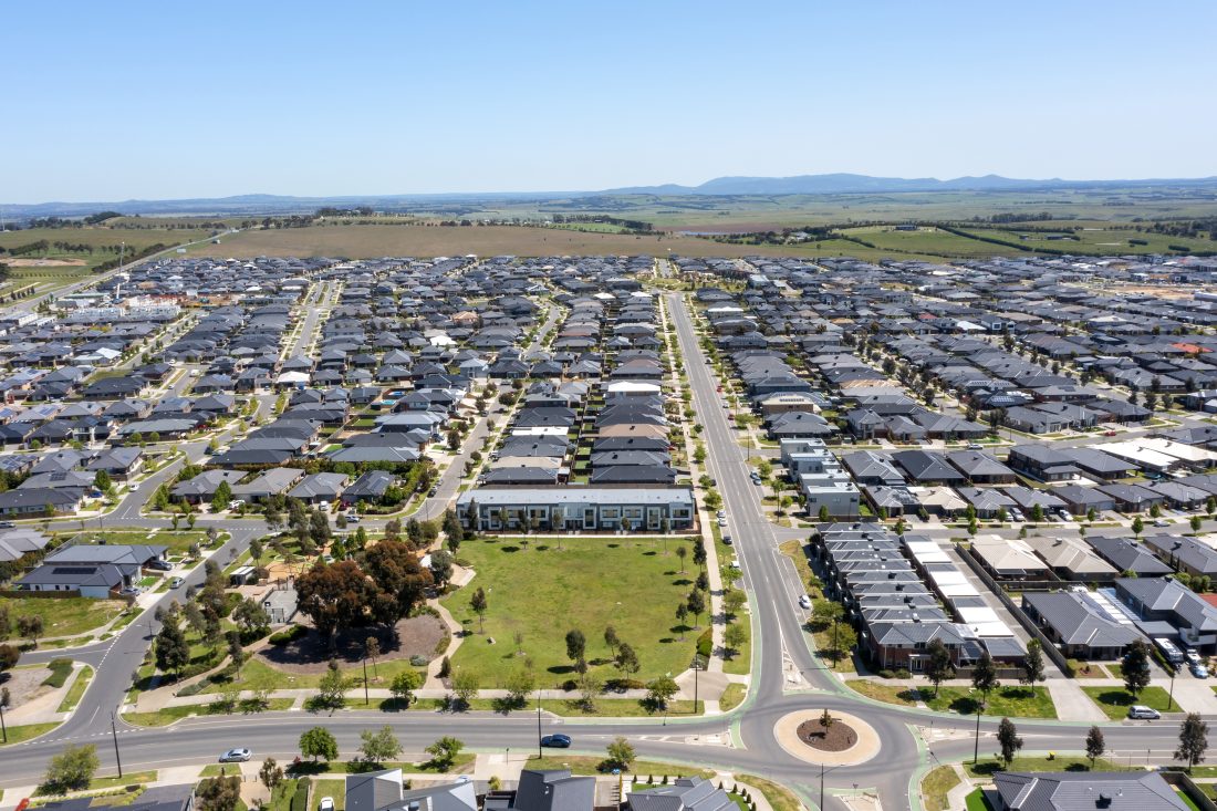
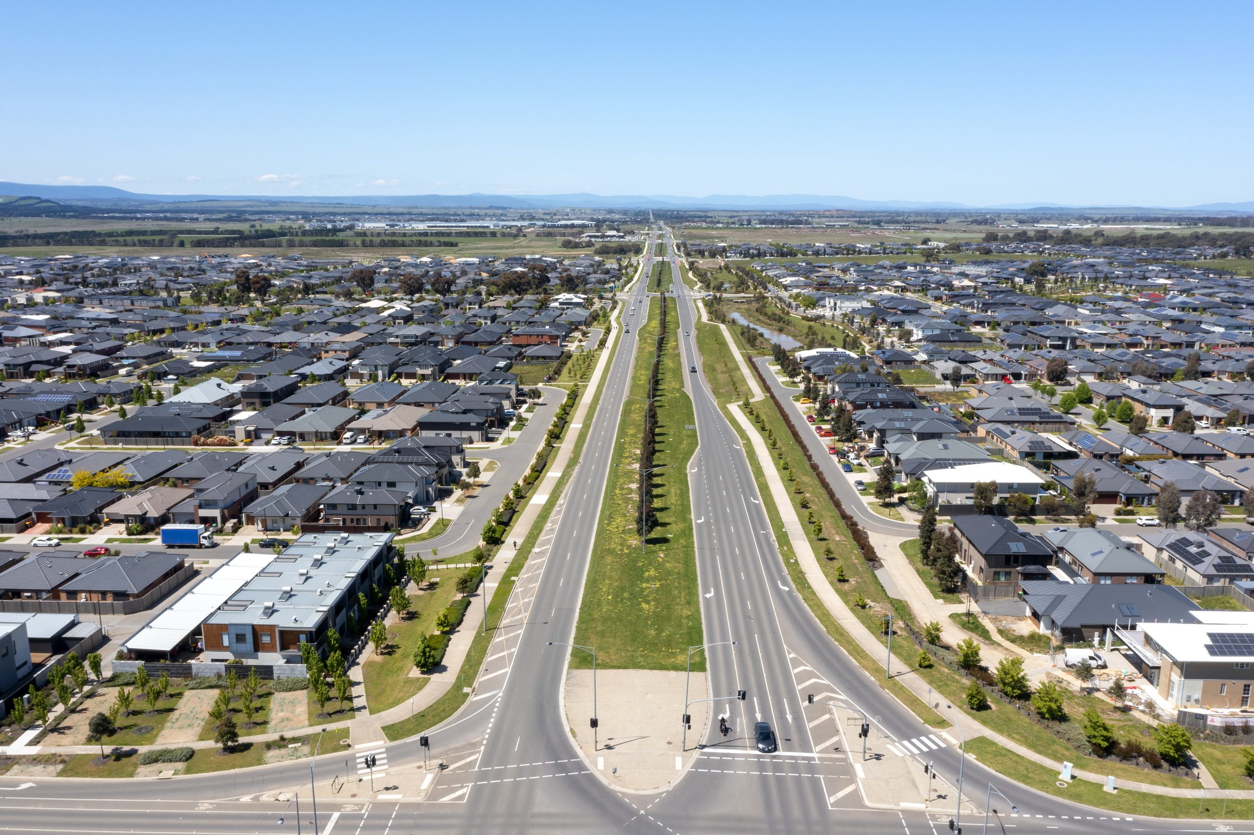
Aerial images of your land development are great progress tools that has come into fashion in recent times. Land development can be a long process, and it’s important to have a clear picture of how things are progressing. Aerial images, or drone photography, give you a bird’s eye view of your project, allowing you to see the big picture and track progress over time.
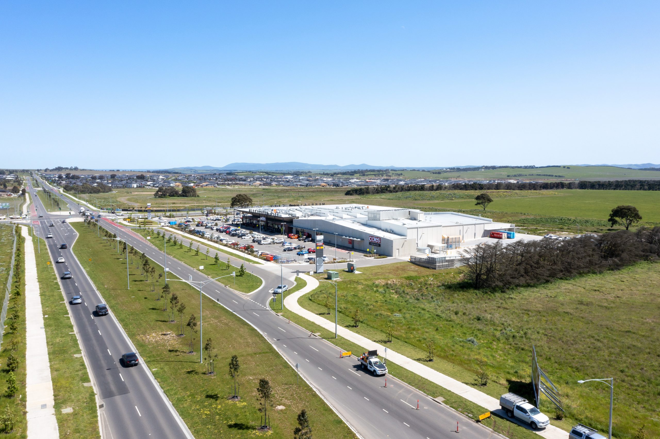
One project that has benefitted from our aerial images is the new Merrifield Business Park. The Merrifield Business Park is located in a strategic position with easy access to key transportation links (rail, road, port, and airport infrastructure). It is poised to become Victoria’s largest master-planned business and employment precinct, offering a range of services tailored to local, national, and international markets. It is set to be the perfect base of operations for businesses of all sizes. Using our aerial images, our client has been able to check in with their periodic progress. Similarly, they have also used these photos for their marketing and internal planning purposes, making it a bonus for them to strategise the unveiling of this project.

Aerial images give you more insight into your construction’s progress at an affordable price
In the property development and civil engineering industries, the use of drones has become increasingly popular due to their numerous benefits. Capture Point Media provides clients with clear aerial images that show the progress of land development projects. With their ability to capture high-resolution images from difficult-to-reach areas, drones offer unparalleled access and flexibility, resulting in cost and time savings.
Modern drones for aerial photography offer several advantages over traditional methods. Drones provide unparalleled access to difficult-to-reach areas of a construction site. This easily enables a clear and detailed view of the project from any angle. With a more detailed assessment of progress, identifying any potential issues that may arise allows developers quick contingency actions.
Drones also offer flexibility in capturing images when flown at different altitudes and angles. Our customisable aerial imaging services allow you to specify areas you want captured, ensuring we meet your unique needs. Traditional methods of aerial photography require extensive planning, equipment, and personnel deployment, which can be costly and time-consuming. On the other hand, drones can quickly and easily deploy, requiring minimal equipment and personnel. Consequently, this results in significant cost savings for the client, as well as faster delivery of the images.
Capture Point Media’s aerial imaging services helps clients stay informed about the progress of their projects and make wiser decisions. Our team of experts will take care of everything, from capturing images to processing and delivering them to you. Get in touch with us today to see how we can help you on your next project!